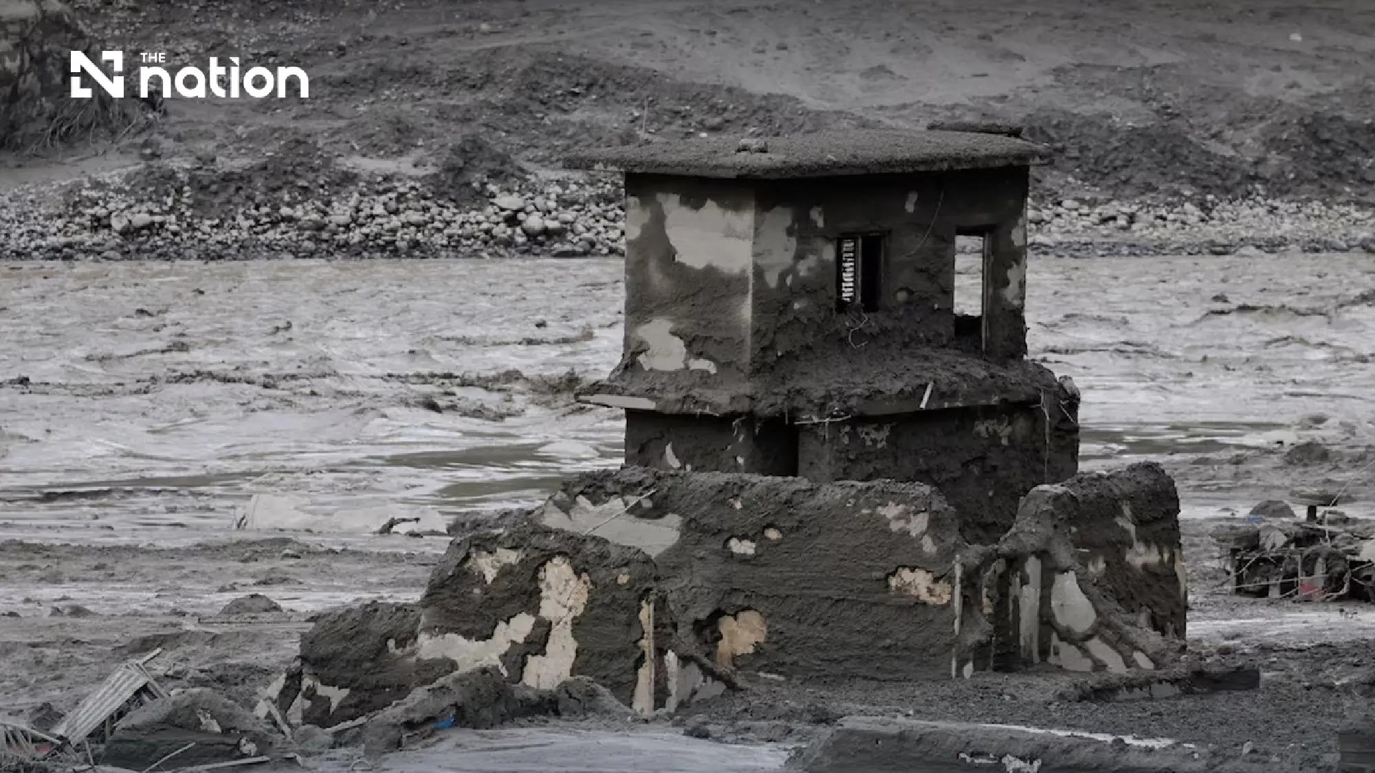
Climate change examined after deadly Nepal-Tibet glacier collapse
Seismic signal came from collapse, not earthquake
Early reports suggested that a magnitude 4.4 earthquake might have caused part of a glacier to break away.
The US Geological Survey later concluded that no earthquake had occurred. The seismic signal was instead generated by the collapse of glacial ice and rock and the subsequent debris flow, which registered as an event of about magnitude 5.2.
Preliminary analysis of satellite images indicated that a section of glacier covering about 0.2 square kilometres broke away at an altitude of approximately 5,200 metres and fell about 1.2 kilometres to the valley floor.
The impact converted enormous potential energy into heat and movement, possibly melting some of the ice. The avalanche then swept rock, sediment and glacial moraine into the Lhende Khola river system, rapidly increasing in volume as it travelled downstream.
Chinese government geologists estimated that the debris flow moved at roughly 50 metres per second and travelled for more than 20 kilometres, leaving people along its path almost no time to escape.
Water levels in rivers downstream rose by between seven and nine metres within about 30 minutes, according to the International Centre for Integrated Mountain Development.
The surge destroyed homes, roads, bridges, hydropower facilities and the Gyirong border crossing, while cutting communications and transport links along a major route connecting Kathmandu with Lhasa.