
News
Climate action - How geospatial tech is helping the National Trust to restore nature
How geospatial tech is helping the National Trust to restore nature
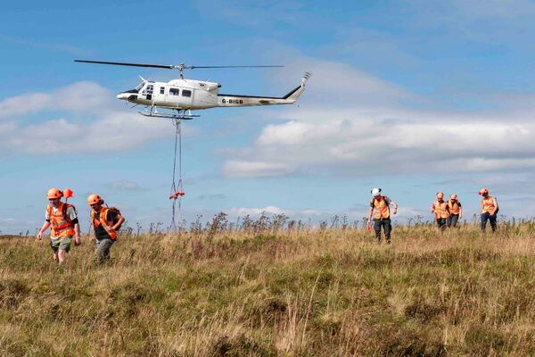
Work included creating peatlands, meadows, wetlands, woodlands and saltmarsh across National Trust’s 1,000 square miles of landholdings
Technology from Esri UK has helped the organisation exceed one of its ambitious conservation targets to create or restore of 25,000 hectares of wildlife habitats.